
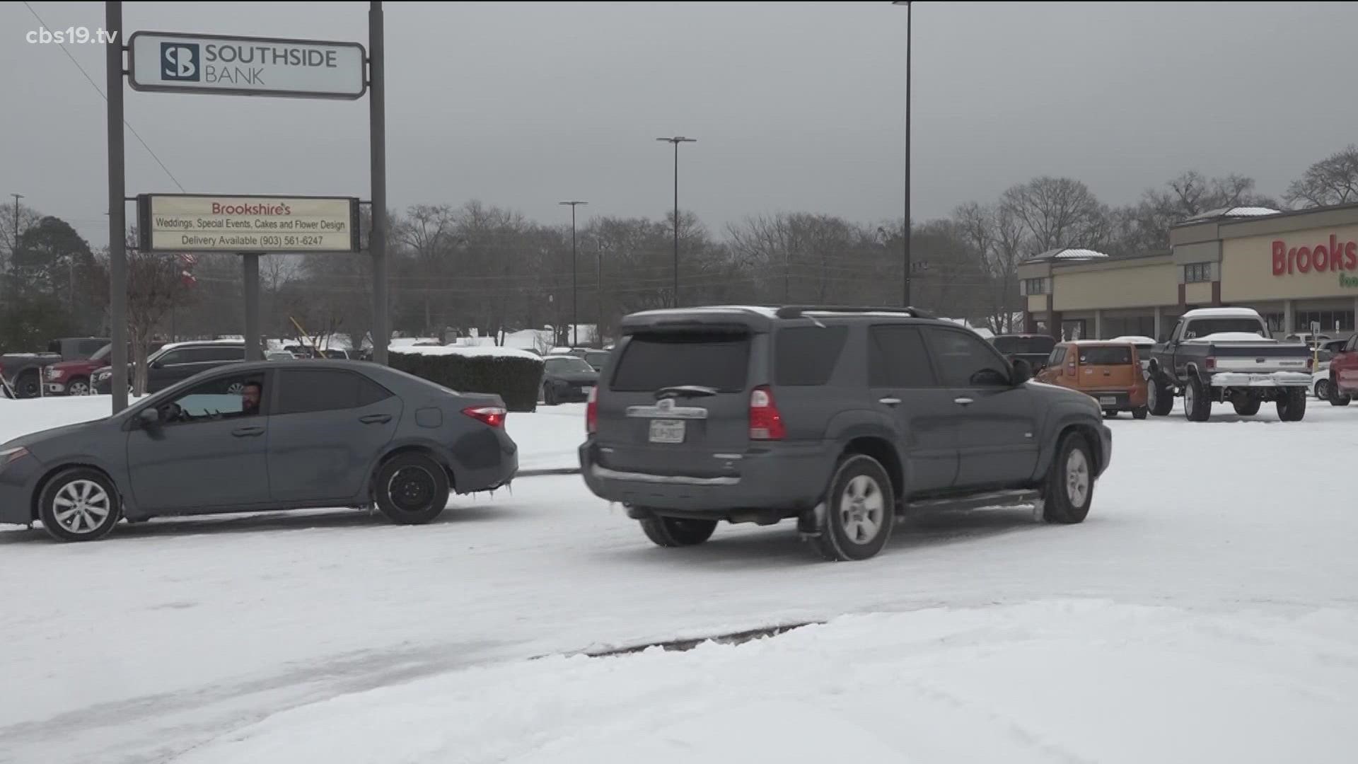
TYLER, Texas — With the threat of wintry weather hanging over East Texas, the National Weather Service (NWS) is implementing watches and warnings ahead of the event Wednesday - Thursday.
A Winter Storm Warning has been issued for the following counties through 6 p.m. Thursday, Feb. 3:
- Anderson County
- Cherokee County
- Henderson County
- Hopkins County
- Camp County
- Franklin County
- Rains County
- Smith County
- Titus County
- Upshur County
- Van Zandt County
The NWS has issued a Winter Storm Watch for the following counties until Thursday, at 6 p.m.
- Wood County
More counties are expected to be added the closer we get to the event.
Stick with CBS19 for the latest information.
UNDERSTANDING WINTER STORM ALERTS
When severe weather hits, alerts start coming in left and right, and it can get confusing.
So, the NWS has released a guide to tell the difference between certain watches and warnings:
- Winter Storm Watch: Be Prepared! Snow, sleet or ice possible. Confidence is medium that a winter storm will produce heavy snow, sleet or freezing rain and cause significant impacts.
- Winter Storm Warning: Take Action! Snow, sleet or ice are expected. Confidence is high that a winter storm will produce heavy snow, sleet or freezing rain and cause significant impacts.
UNDERSTANDING TORNADO ALERTS
Tornado Watch: Be Prepared! Tornadoes are possible in and near the watch area. Review and discuss your emergency plans and check supplies and your safe room. Be ready to act quickly if a warning is issued or you suspect a tornado is approaching. Acting early helps to save lives! Watches are issued by the Storm Prediction Center for counties where tornadoes may occur. The watch area is typically large, covering numerous counties or even states.
Tornado Warning: Take Action! A tornado has been sighted or indicated by weather radar. There is imminent danger to life and property. Move to an interior room on the lowest floor of a sturdy building. Avoid windows. If in a mobile home, a vehicle, or outdoors, move to the closest substantial shelter and protect yourself from flying debris. Warnings are issued by your local forecast office. Warnings typically encompass a much smaller area (around the size of a city or small county) that may be impacted by a tornado identified by a forecaster on radar or by a trained spotter/law enforcement who is watching the storm.
Do you have a weather report or pictures you would like to submit to the CBS19 Weather Team? Email them to news@cbs19.tv, or connect with us on social media through our Facebook and Twitter pages.
Stay weather aware with the CBS19 mobile app.
- Click here to download the iPhone app.
- Click here to download the iPad app.
- Click here to download the Android app.